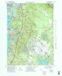
1967 Map of Pocasset
USGS Topo · Published 1979About this map
Otis Air Force Base dominates the southern landscape of this coastal survey, its runways and military reservation boundary defining much of the local geography in Bourne and Sandwich. Along the western shoreline, the maritime character of the region is evident through the winding inlets of Buzzards Bay, including Phinneys Harbor and Red Brook Harbor. The Cape Cod Canal cuts across the northern edge, anchored by the Mass Maritime Academy and the massive Bourne Bridge.
Find a feature on this map
114 named features on this map. Tap any name to fly to it.
Don’t see what you’re looking for? This feature index may not catch every label — zoom into the map to look around manually.
Map Details
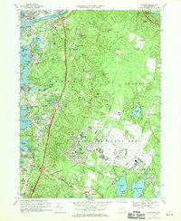
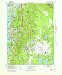
Editions of this 1967 Pocasset Map
3 editions found
Other maps of this area

1886 · Falmouth
USGS Topo · 1:62,500

1886 · Plymouth
USGS Topo · 1:62,500

1888 · Barnstable
USGS Topo · 1:62,500

1888 · Falmouth
USGS Topo · 1:62,500

1889 · Plymouth
USGS Topo · 1:62,500

1893 · Barnstable
USGS Topo · 1:62,500

1893 · Falmouth
USGS Topo · 1:62,500

1894 · Plymouth
USGS Topo · 1:62,500

1915 · Falmouth
USGS Topo · 1:62,500

1920 · Falmouth
USGS Topo · 1:62,500