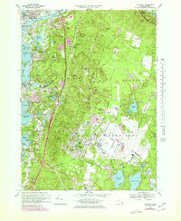
1967 Map of Pocasset
USGS Topo · Published 1979About this map
Otis Air Force Base dominates the central landscape of this Upper Cape survey, its runways and facility layout contrasting with the intricate coastal settlements to the west. Along the shores of Buzzards Bay, villages such as Monument Beach and Pocasset are shown with their detailed residential footprints and local landmarks, including the County Hospital and Mass Maritime Academy near the Cape Cod Canal. The map reveals a high concentration of schools like the Otis Memorial Sch and Peebles Sch, alongside historic burial grounds such as Old Bourne Cem and Oakland Grove Cem.
Find a feature on this map
98 named features on this map. Tap any name to fly to it.
Don’t see what you’re looking for? This feature index may not catch every label — zoom into the map to look around manually.
Map Details
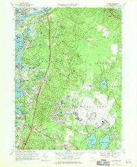
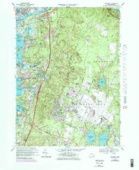
Editions of this 1967 Pocasset Map
3 editions found
Other maps of this area

1886 · Falmouth
USGS Topo · 1:62,500

1886 · Plymouth
USGS Topo · 1:62,500

1888 · Barnstable
USGS Topo · 1:62,500

1888 · Falmouth
USGS Topo · 1:62,500

1889 · Plymouth
USGS Topo · 1:62,500

1893 · Barnstable
USGS Topo · 1:62,500

1893 · Falmouth
USGS Topo · 1:62,500

1894 · Plymouth
USGS Topo · 1:62,500

1915 · Falmouth
USGS Topo · 1:62,500

1920 · Falmouth
USGS Topo · 1:62,500