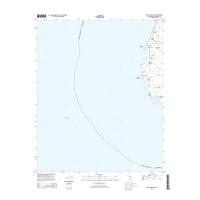
2015 Map of Point Arguello
USGS Topo · Published 2015About this map
Point Arguello defines the western edge of this coastal survey, where the land meets the Pacific Ocean along a stretch of dramatic cliffs and deep ravines. Small coastal settlements and railroad sidings like Honda, Arguello, and Arlight are situated along the railway corridor that hugs the shoreline. This transportation route navigates the base of the Santa Ynez Mountains, crossing Cañada Honda Cr as it passes through the steep topography of La Honda Canyon. Inland, the terrain rises sharply toward Tranquillon Ridge and Cypress Ridge, while the coast is punctuated by geological landmarks such as Point Pedernales and the offshore Destroyer Rock. The map illustrates a landscape primarily shaped by its role as a strategic coastal transit point, with limited infrastructure including Surf Rd and Coast Rd connecting the maritime points and canyon gaps.
Find a feature on this map
26 named features on this map. Tap any name to fly to it.
Don’t see what you’re looking for? This feature index may not catch every label — zoom into the map to look around manually.
Map Details
Editions of this 2015 Point Arguello Map
This is the sole edition of this map. No revisions or reprints were ever made.
Other maps of this area

1905 · Guadalupe
USGS Topo · 1:125,000

1942 · Point Arguello
USGS Topo · 1:62,500

1942 · Guadalupe
USGS Topo · 1:125,000

1947 · Surf
USGS Topo · 1:24,000
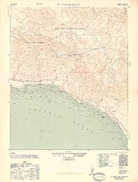
1947 · El Tranquillon
USGS Topo · 1:24,000
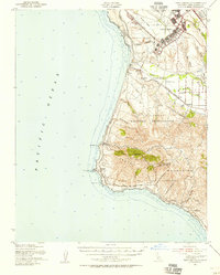
1947 · Point Arguello
USGS Topo · 1:62,500
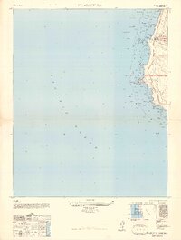
1948 · Point Arguello
USGS Topo · 1:24,000
1948 · El Tranquillon
USGS Topo · 1:24,000

1948 · Santa Maria
USGS Topo · 1:250,000

1956 · Santa Maria
USGS Topo · 1:250,000