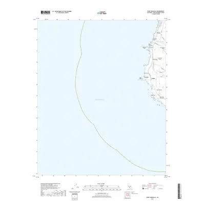
2018 Map of Point Arguello
USGS Topo · Published 2018About this map
Point Arguello and the surrounding coastline of Santa Barbara County are defined by their position at a major geographical bend where the California shore turns sharply eastward. This 2018 survey details the intricate coastal topography where the western terminus of the Santa Ynez Mountains meets the Pacific Ocean. Small settlements and sidings like Arguello, Arlight, and Honda sit along the coastal corridor, connected by the rail line and a network of service roads such as Honda Ridge Rd and Coast Rd. The map illustrates a landscape of deep ravines and high ridges, including La Honda Canyon, Red Roof Canyon, and Tranquillon Ridge. Notable maritime hazards and landmarks appear along the surf line, including Destroyer Rock off Point Pedernales and the prominent North Point. This modern topographic study is a primary resource for understanding the contemporary geography of this historically significant and restricted coastal stretch.
Find a feature on this map
26 named features on this map. Tap any name to fly to it.
Don’t see what you’re looking for? This feature index may not catch every label — zoom into the map to look around manually.
Map Details
Editions of this 2018 Point Arguello Map
This is the sole edition of this map. No revisions or reprints were ever made.
Other maps of this area

1905 · Guadalupe
USGS Topo · 1:125,000

1942 · Point Arguello
USGS Topo · 1:62,500

1942 · Guadalupe
USGS Topo · 1:125,000

1947 · Surf
USGS Topo · 1:24,000
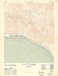
1947 · El Tranquillon
USGS Topo · 1:24,000
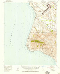
1947 · Point Arguello
USGS Topo · 1:62,500
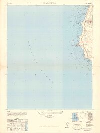
1948 · Point Arguello
USGS Topo · 1:24,000
1948 · El Tranquillon
USGS Topo · 1:24,000

1948 · Santa Maria
USGS Topo · 1:250,000

1956 · Santa Maria
USGS Topo · 1:250,000