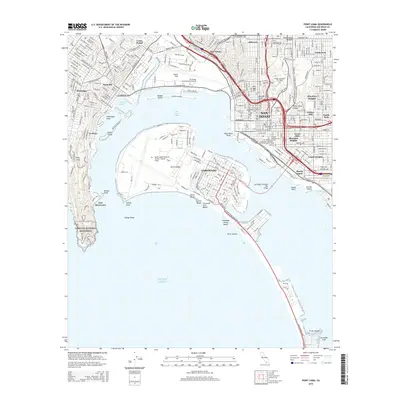
2015 Map of Point Loma
USGS Topo · Published 2015About this map
Point Loma stands as the sentinel of San Diego Bay, defining the western edge of one of the Pacific coast's most significant deep-water harbors. This modern topographic record details the dense urban and military infrastructure of the early 21st century, from the sprawling North Island Naval Air Station /Halsey Field/ to the high-density neighborhoods of Hillcrest and Barrio Logan. The map highlights the area's maritime and aviation importance, centering on the San Diego International Airport and the complex of harbors such as Americas Cup Harbor.
Find a feature on this map
57 named features on this map. Tap any name to fly to it.
Don’t see what you’re looking for? This feature index may not catch every label — zoom into the map to look around manually.
Map Details
Editions of this 2015 Point Loma Map
This is the sole edition of this map. No revisions or reprints were ever made.
Other maps of this area

1903 · La Jolla
USGS Topo · 1:62,500

1904 · San Diego
USGS Topo · 1:62,500

1904 · Southern California Sheet No. 2
USGS Topo · 1:250,000

1930 · La Jolla
USGS Topo · 1:62,500

1930 · San Diego
USGS Topo · 1:62,500
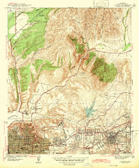
1942 · La Mesa
USGS Topo · 1:31,680

1942 · Point Loma
USGS Topo · 1:31,680

1943 · La Jolla
USGS Topo · 1:31,680
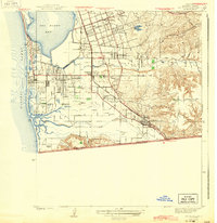
1943 · San Ysidro
USGS Topo · 1:31,680
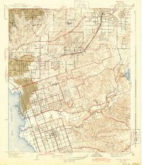
1944 · National City
USGS Topo · 1:31,680