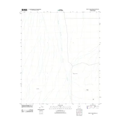
2011 Map of Point of the Pintas
USGS Topo · Published 2011About this map
Mohawk Wash defines the drainage patterns of this arid Yuma County landscape, its numerous dry channels branching across the desert floor toward the northern reaches of the quadrangle. The terrain is marked by distinctive geological formations, most notably the Point of the Pintas and the Devil Hills to the southwest. This 2011 survey by the U.S. Geological Survey illustrates a region dominated by ephemeral watercourses and natural landmarks rather than human settlement. Navigational points such as Bean Pass and the curiously named What Fo Canyon provide the only named reference points in an area defined by its topographical relief and extensive wash systems.
Find a feature on this map
5 named features on this map. Tap any name to fly to it.
Don’t see what you’re looking for? This feature index may not catch every label — zoom into the map to look around manually.
Map Details
Editions of this 2011 Point of the Pintas Map
This is the sole edition of this map. No revisions or reprints were ever made.
Other maps of this area

1926 · Mohawk
USGS Topo · 1:62,500

1927 · Kim
USGS Topo · 1:62,500

1928 · Mohawk
USGS Topo · 1:62,500

1931 · Kim
USGS Topo · 1:62,500

1953 · Ajo
USGS Topo · 1:250,000

1957 · Ajo
USGS Topo · 1:250,000

1958 · Ajo
USGS Topo · 1:250,000

1962 · Ajo
USGS Topo · 1:250,000

1963 · Ajo
USGS Topo · 1:250,000

1965 · Cabeza Prieta Peak
USGS Topo · 1:62,500