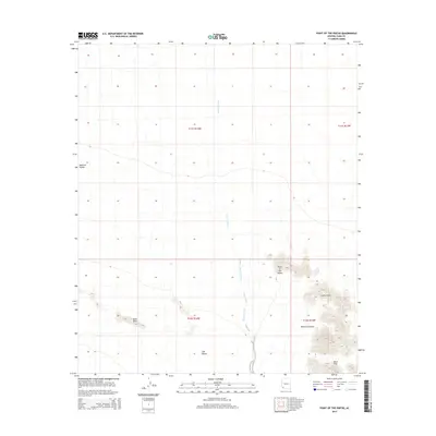
2014 Map of Point of the Pintas
USGS Topo · Published 2014About this map
Mohawk Valley and the northern reaches of the Tule Desert dominate this part of Yuma County, revealing a landscape shaped by drainage and high desert topography. The prominent ridge of Sierra Pinta cuts through the southeastern quadrant, where the notable Point of the Pintas rises above the surrounding flats. This 2014 survey documents the passage of the Mohawk Wash, which snakes through the center of the area toward the western valley floor. The map highlights a series of landforms including the Devil Hills and the narrow corridor of Bean Pass, providing a detailed view of the natural barriers and pathways through this arid region. These features, along with names like What Fo Canyon, illustrate the geographical markers relied upon for navigation across the southwestern Arizona desert.
Find a feature on this map
12 named features on this map. Tap any name to fly to it.
Don’t see what you’re looking for? This feature index may not catch every label — zoom into the map to look around manually.
Map Details
Editions of this 2014 Point of the Pintas Map
This is the sole edition of this map. No revisions or reprints were ever made.
Other maps of this area

1926 · Mohawk
USGS Topo · 1:62,500

1927 · Kim
USGS Topo · 1:62,500

1928 · Mohawk
USGS Topo · 1:62,500

1931 · Kim
USGS Topo · 1:62,500

1953 · Ajo
USGS Topo · 1:250,000

1957 · Ajo
USGS Topo · 1:250,000

1958 · Ajo
USGS Topo · 1:250,000

1962 · Ajo
USGS Topo · 1:250,000

1963 · Ajo
USGS Topo · 1:250,000

1965 · Cabeza Prieta Peak
USGS Topo · 1:62,500