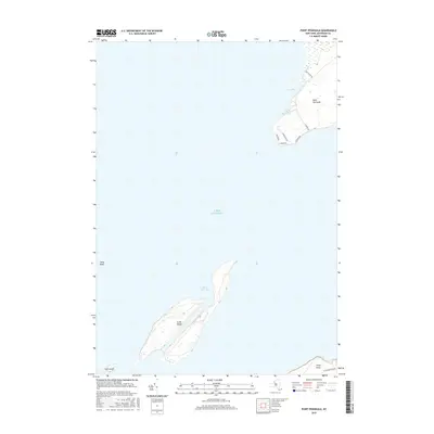
2016 Map of Point Peninsula
USGS Topo · Published 2016About this map
Point Peninsula reaches into the eastern waters of Lake Ontario, defining a landscape where the lake dominates both the geography and local nomenclature. This 2016 survey illustrates the rugged coastal character of Jefferson County, where the mainland is separated from significant offshore features like Stony Island and the smaller Calf Island. The presence of Dutch John Bay and Toad Hole suggests a shoreline shaped by shallow inlets and protective coves, essential for maritime navigation in this part of the Great Lakes. Settlement patterns are focused along the coast, evidenced by local routes such as S Shore Rd and Luff Shores Ln, which service the residences and recreational facilities like Dels Boat-Basin. This map provides a detailed view of the littoral zone, tracing the contours of Stony Point and the surrounding basins that have long supported seasonal and year-round inhabitants.
Find a feature on this map
16 named features on this map. Tap any name to fly to it.
Don’t see what you’re looking for? This feature index may not catch every label — zoom into the map to look around manually.
Map Details
Editions of this 2016 Point Peninsula Map
This is the sole edition of this map. No revisions or reprints were ever made.
Other maps of this area

1893 · Sackets Harbor
USGS Topo · 1:62,500

1895 · Sacketts Harbor
USGS Topo · 1:62,500

1895 · Stony Island
USGS Topo · 1:62,500

1895 · Cape Vincent
USGS Topo · 1:62,500

1900 · Clayton
USGS Topo · 1:62,500

1903 · Clayton
USGS Topo · 1:62,500

1942 · Stony Point
USGS Topo · 1:31,680

1942 · Henderson Bay
USGS Topo · 1:31,680

1942 · Chaumont
USGS Topo · 1:31,680

1942 · Galloo Island
USGS Topo · 1:31,680