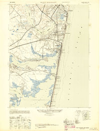
1947 Map of Point Pleasant
USGS Topo · Published 1947About this map
Manasquan Inlet serves as the focal point for this coastal survey, where the Manasquan River meets the sea between Manasquan and Point Pleasant. The map reveals a post-war landscape of established resort communities and maritime infrastructure. To the north, the N J National Guard Encampment and Life Saving Station Manasquan Beach overlook the coast, while the New York and Long Branch RR and Pennsylvania RR provide critical transit links to the shore. Further south along Metedeconk Neck, the development pattern transitions to more seasonal and recreational uses, evidenced by The Breakers Hotel and Mantoloking Boat Works. Inland, older agricultural and residential nodes like Herbertsville and Beaver Hill Farm (Bristol) contrast with the developing waterfront neighborhoods along Barnegat Bay, illustrating the area's mid-century shift toward a modern coastal economy.
Find a feature on this map
69 named features on this map. Tap any name to fly to it.
Don’t see what you’re looking for? This feature index may not catch every label — zoom into the map to look around manually.
Map Details
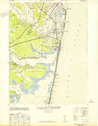
Editions of this 1947 Point Pleasant Map
2 editions found
Other maps of this area

1888 · Barnegat
USGS Topo · 1:62,500

1888 · Asbury Park
USGS Topo · 1:62,500

1893 · Asbury Park
USGS Topo · 1:62,500

1893 · Barnegat
USGS Topo · 1:62,500

1898 · Barnegat
USGS Topo · 1:62,500

1901 · Asbury Park
USGS Topo · 1:62,500

1902 · Navesink
USGS Topo · 1:125,000

1919 · Barnegat
USGS Topo · 1:62,500

1919 · Asbury Park
USGS Topo · 1:62,500

1941 · Toms River
USGS Topo · 1:62,500