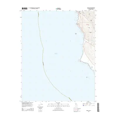
2015 Map of Point Sur
USGS Topo · Published 2015About this map
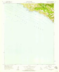
The Santa Lucia Range meets the shelf of the Pacific Ocean in this coastal survey, where the terrestrial landscape is defined by steep ridges and narrow creek canyons. The iconic Bixby Bridge spans its namesake Bixby Creek near Division Knoll, serving as a critical waypoint along the shoreline. Further south, the prominent headland of Point Sur juts into the water, flanked by the treacherous Sur Rock and the nearby False Sur formation. Inland, a network of roads including the winding Coast Rd and Bixby Creek Rd navigate the difficult terrain of Mescal Ridge and Long Ridge. This map captures the relationship between modern infrastructure and the formidable natural barriers of the central California coast, from the heights of Sierra Hill down to the mouth of the Little Sur River.
Find a feature on this map
19 named features on this map. Tap any name to fly to it.
Don’t see what you’re looking for? This feature index may not catch every label — zoom into the map to look around manually.
Map Details
Editions of this 2015 Point Sur Map
This is the sole edition of this map. No revisions or reprints were ever made.
Other maps of this area

1918 · Point Sur
USGS Topo · 1:62,500

1925 · Point Sur
USGS Topo · 1:62,500

1947 · Point Sur
USGS Topo · 1:62,500

1948 · Santa Cruz
USGS Topo · 1:250,000

1955 · Santa Cruz
USGS Topo · 1:250,000
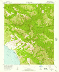
1956 · Big Sur
USGS Topo · 1:24,000
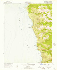
1956 · Soberanes Point
USGS Topo · 1:24,000
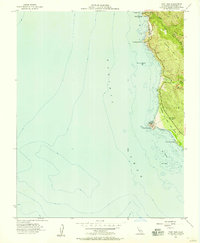
1956 · Point Sur
USGS Topo · 1:24,000
1956 · Pfeiffer Point
USGS Topo · 1:24,000
1956 · Mt. Carmel
USGS Topo · 1:24,000