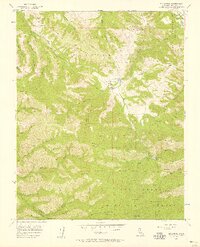
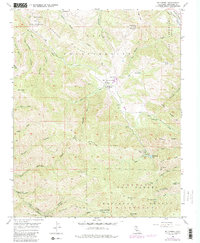
1956 Map of Mt. Carmel
USGS Topo · Published 1958About this map
El Potrero De San Carlos and the higher elevations of the Los Padres National Forest define this mid-century landscape of the Santa Lucia Mountains. The map highlights a network of remote ranching and recreational outposts, notably the San Carlos Ranch and San Francisquito Flat, which sit near the upper reaches of Robinson Canyon. Higher peaks serve as strategic vantage points, including the Sid Ormsbee Lookout on Pinyon Peak.
Find a feature on this map
47 named features on this map. Tap any name to fly to it.
Don’t see what you’re looking for? This feature index may not catch every label — zoom into the map to look around manually.
Map Details
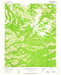
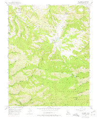
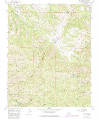
Editions of this 1956 Mt. Carmel Map
5 editions found
Other maps of this area

1910 · Salinas
USGS Topo · 1:31,680

1912 · Salinas
USGS Topo · 1:62,500

1913 · Monterey
USGS Topo · 1:62,500

1918 · Point Sur
USGS Topo · 1:62,500

1920 · Jamesburg
USGS Topo · 1:48,000

1921 · Jamesburg
USGS Topo · 1:62,500

1925 · Point Sur
USGS Topo · 1:62,500

1939 · Jamesburg
USGS Topo · 1:62,500

1940 · Salinas
USGS Topo · 1:62,500

1940 · Jamesburg
USGS Topo · 1:62,500