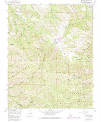
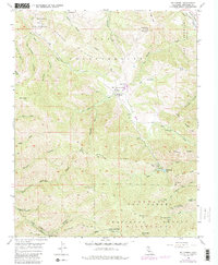
1956 Map of Mt. Carmel
USGS Topo · Published 1984About this map
El Potrero De San Carlos and the expansive San Francisquito area define this portion of the Santa Lucia Mountains during the mid-1950s. The landscape is characterized by a network of deep canyons and prominent ridges, including Chamisal Ridge and White Rock Ridge, which funnel numerous seasonal and perennial streams toward the coast. Human presence is centered at San Franciscoito Flat and the San Carlos Ranch, where the terrain briefly levels out near the headwaters of San Carlos Creek.
Find a feature on this map
47 named features on this map. Tap any name to fly to it.
Don’t see what you’re looking for? This feature index may not catch every label — zoom into the map to look around manually.
Map Details
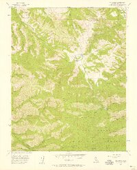
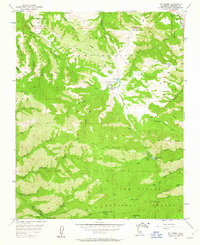
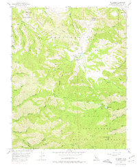
Editions of this 1956 Mt. Carmel Map
5 editions found
Other maps of this area

1910 · Salinas
USGS Topo · 1:31,680

1912 · Salinas
USGS Topo · 1:62,500

1913 · Monterey
USGS Topo · 1:62,500

1918 · Point Sur
USGS Topo · 1:62,500

1920 · Jamesburg
USGS Topo · 1:48,000

1921 · Jamesburg
USGS Topo · 1:62,500

1925 · Point Sur
USGS Topo · 1:62,500

1939 · Jamesburg
USGS Topo · 1:62,500

1940 · Salinas
USGS Topo · 1:62,500

1940 · Jamesburg
USGS Topo · 1:62,500