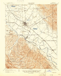
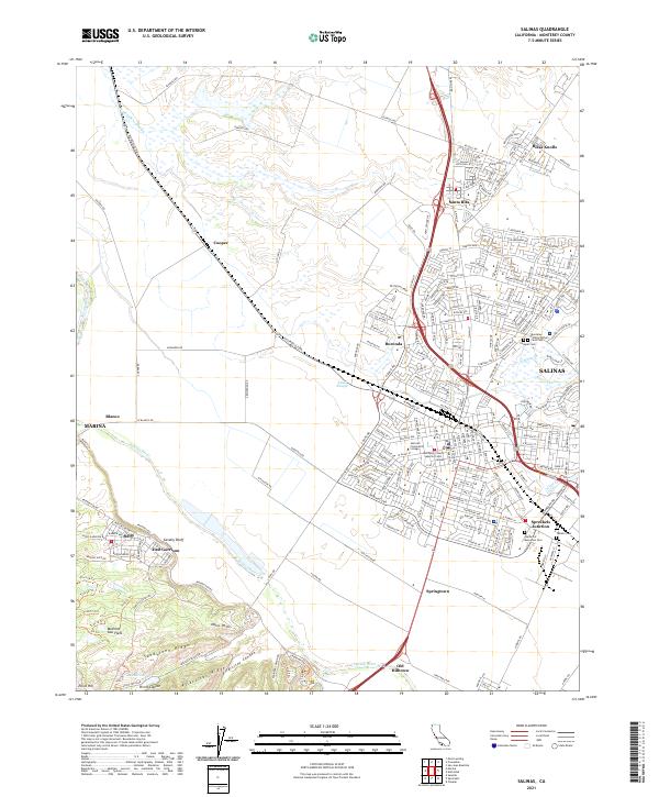
1940 Map of Salinas
USGS Topo · Published 1940About this map
The agricultural heart of the Salinas Valley is captured here in the transition between the late Depression era and the onset of World War II mobilization. The city of Salinas serves as the central hub, surrounded by a complex system of drainage and irrigation indicated by the Salinas River, Alisal Slough, and Natividad Creek. The landscape is deeply tied to its Spanish land grant heritage, with large tracts like Nacional, El Alisal (Bernal), and Corral de Tierra defining the property boundaries that shaped local development.
Find a feature on this map
56 named features on this map. Tap any name to fly to it.
Don’t see what you’re looking for? This feature index may not catch every label — zoom into the map to look around manually.
Map Details
Editions of this 1940 Salinas Map
This is the sole edition of this map. No revisions or reprints were ever made.
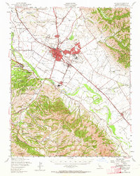
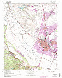
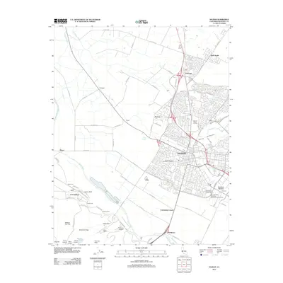
Historical Maps of Salinas Through Time
9 maps found