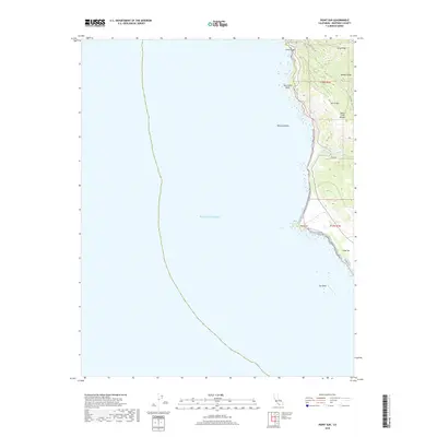
2018 Map of Point Sur
USGS Topo · Published 2018About this map
Bixby Bridge serves as a primary landmark where the terrestrial landscape meets the shelf of the Pacific Ocean. This coastal stretch in the Santa Lucia Range is defined by sharp elevation changes, moving from the sea-level Sur Rock up to heights like Sierra Hill and Mescal Ridge. The infrastructure reflects a balance between modern transit and historical routes, seen in the proximity of Coast Rd to the winding Old Coast Rd. Waterways such as Bixby Cr, Sierra Cr, and the Little Sur River cut through the steep terrain, creating the deep canyons that necessitated significant engineering projects. Notable coastal features like Hurricane Point, Point Sur, and the offshore Ventura Rocks provide critical navigational reference points along this dramatic section of the Monterey County shoreline.
Find a feature on this map
18 named features on this map. Tap any name to fly to it.
Don’t see what you’re looking for? This feature index may not catch every label — zoom into the map to look around manually.
Map Details
Editions of this 2018 Point Sur Map
This is the sole edition of this map. No revisions or reprints were ever made.
Other maps of this area

1918 · Point Sur
USGS Topo · 1:62,500

1925 · Point Sur
USGS Topo · 1:62,500

1947 · Point Sur
USGS Topo · 1:62,500

1948 · Santa Cruz
USGS Topo · 1:250,000

1955 · Santa Cruz
USGS Topo · 1:250,000
1956 · Big Sur
USGS Topo · 1:24,000
1956 · Soberanes Point
USGS Topo · 1:24,000
1956 · Point Sur
USGS Topo · 1:24,000
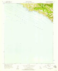
1956 · Pfeiffer Point
USGS Topo · 1:24,000
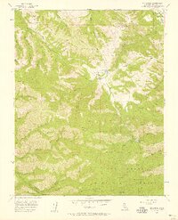
1956 · Mt. Carmel
USGS Topo · 1:24,000