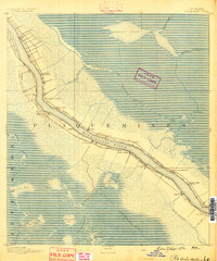
1891 Map of Pointe a La Hache
USGS Topo · Published 1891About this map
The Mississippi River defines the corridor of this late nineteenth-century delta landscape, bordered by the dense settlements and narrow agricultural strips typical of south Louisiana's river parishes. The New Orleans Ft Jackson and Grand Isl Railroad runs parallel to the western bank, serving a series of landings and plantations such as Oakland, Harlem, and Deer Range. These names, along with St. Sophie Monticello and Pointe Celeste, reflect the heritage of the region's landholdings.
Find a feature on this map
39 named features on this map. Tap any name to fly to it.
Don’t see what you’re looking for? This feature index may not catch every label — zoom into the map to look around manually.
Map Details
Editions of this 1891 Pointe a La Hache Map
This is the sole edition of this map. No revisions or reprints were ever made.
Other maps of this area
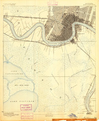
1891 · New Orleans
USGS Topo · 1:62,500
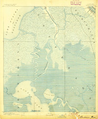
1892 · Barataria
USGS Topo · 1:62,500
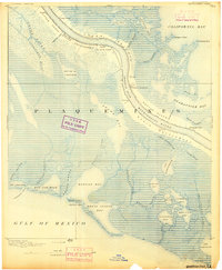
1892 · Quarantine
USGS Topo · 1:62,500
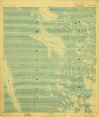
1892 · Creole
USGS Topo · 1:62,500
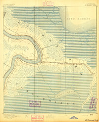
1892 · St. Bernard
USGS Topo · 1:62,500
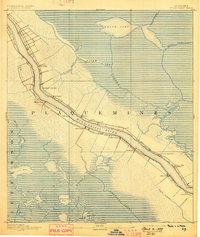
1892 · Pointe a La Hache
USGS Topo · 1:62,500
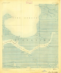
1893 · Shell Beach
USGS Topo · 1:62,500
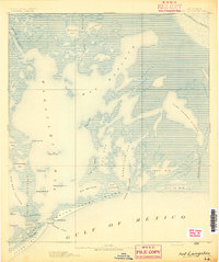
1893 · Fort Livingston
USGS Topo · 1:62,500
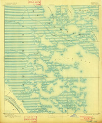
1893 · Dime
USGS Topo · 1:62,500
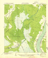
1932 · New Orleans SE
USGS Topo · 1:31,680