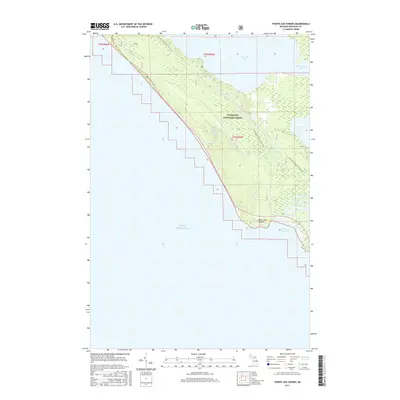
2017 Map of Pointe aux Chenes
USGS Topo · Published 2017About this map
Hiawatha National Forest dominates this coastal landscape along the northern shores of Lake Michigan in Mackinac County. The map details a primitive and largely preserved stretch of shoreline defined by the prominent Pointe aux Chenes headland and its adjacent Pointe aux Chenes Bay. Inland, the terrain is characterized by a complex network of wetlands and small lakes, including Brevort Lake and Round Lake, which are connected by the winding course of the Brevort River. Long-distance hikers can trace the path of the N Country National Scenic Trail as it traverses the forested ridges and lowlands. The 2017 data highlights the persistence of this undeveloped wilderness, where few roads penetrate the interior and the natural geography of Christensen Bay remains the primary focus.
Find a feature on this map
12 named features on this map. Tap any name to fly to it.
Don’t see what you’re looking for? This feature index may not catch every label — zoom into the map to look around manually.
Map Details
Editions of this 2017 Pointe aux Chenes Map
This is the sole edition of this map. No revisions or reprints were ever made.
Other maps of this area

1931 · Epoufette SE
USGS Topo · 1:31,680

1931 · Moran NE
USGS Topo · 1:31,680

1931 · Ozark SE
USGS Topo · 1:31,680

1948 · Moran NE
USGS Topo · 1:31,680

1948 · Moran NW
USGS Topo · 1:31,680

1954 · Sault Sainte Marie
USGS Topo · 1:250,000

1955 · Cheboygan
USGS Topo · 1:250,000

1956 · Sault Sainte Marie
USGS Topo · 1:250,000

1957 · Sault Sainte Marie
USGS Topo · 1:250,000

1958 · Cheboygan
USGS Topo · 1:250,000