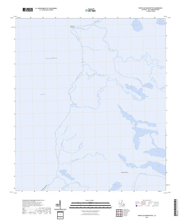
2024 Map of Pointe aux Marchettes
USGS Topo · Published 2024About this map
Magnolia Mound rises above the low-lying marshlands of Saint Bernard Parish, marking a distinctive point in this aqueous coastal landscape. This survey of the Pointe aux Marchettes area reveals an intricate lattice of salt marshes and tidal channels where the land is constantly shifting against the Gulf of Mexico. The map documents a complex system of waterways, from the broad expanse of Lake Borgne to specialized local branches like Bayou Biloxi and Bayou la Loutre.
Find a feature on this map
34 named features on this map. Tap any name to fly to it.
Don’t see what you’re looking for? This feature index may not catch every label — zoom into the map to look around manually.
Map Details
Editions of this 2024 Pointe aux Marchettes Map
This is the sole edition of this map. No revisions or reprints were ever made.
Other maps of this area

1893 · Rigolets
USGS Topo · 1:62,500

1893 · Shell Beach
USGS Topo · 1:62,500

1893 · Toulme
USGS Topo · 1:62,500

1895 · Bodreau
USGS Topo · 1:62,500

1936 · Rigolets
USGS Topo · 1:62,500

1939 · Shell Beach
USGS Topo · 1:62,500

1941 · Shell Beach
USGS Topo · 1:62,500

1946 · Lake Eugenie
USGS Topo · 1:31,680

1946 · Malheureux Point
USGS Topo · 1:31,680
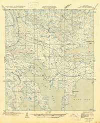
1947 · Lake Eloi
USGS Topo · 1:31,680