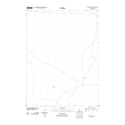
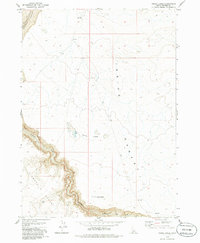
2010 Map of Poison Butte
USGS Topo · Published 2010About this map
Poison Butte rises as the central landmark of this high-desert landscape in Owyhee County, providing a topographical anchor in an area defined by its drainage systems. The Jarbidge River meanders through the western portion of the quadrangle, joined by Dorsey Creek near the southern boundary. A key point of historical interest is Post Office Crossing, a named intersection that suggests a point of connectivity in an otherwise sparsely populated region. This survey captures the essential hydrology and terrain of the Idaho-Nevada borderlands, documenting the few established access points and natural landmarks that define the local geography.
Find a feature on this map
4 named features on this map. Tap any name to fly to it.
Don’t see what you’re looking for? This feature index may not catch every label — zoom into the map to look around manually.
Map Details
Editions of this 2010 Poison Butte Map
This is the sole edition of this map. No revisions or reprints were ever made.
Other maps of this area

1955 · Twin Falls
USGS Topo · 1:250,000

1958 · Twin Falls
USGS Topo · 1:250,000

1978 · The Arch
USGS Topo · 1:24,000

1979 · Cowan Reservoir
USGS Topo · 1:24,000
1979 · Dishpan
USGS Topo · 1:24,000

1979 · Clover Butte South
USGS Topo · 1:24,000

1979 · Mosquito Lake Butte
USGS Topo · 1:24,000
1979 · Poison Butte
USGS Topo · 1:24,000
1979 · Murphy Hot Springs
USGS Topo · 1:24,000
1979 · Inside Lakes
USGS Topo · 1:24,000