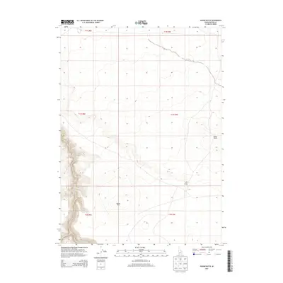
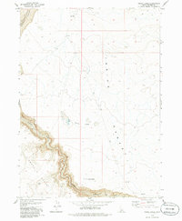
2013 Map of Poison Butte
USGS Topo · Published 2013About this map
Poison Butte rises as a primary landform in this high-elevation corner of Owyhee County, part of a landscape defined by volcanic buttes and deep river canyons. Along the southern edge of the sheet, the Jarbidge River cuts a sharp, winding path through the terrain, joined by the seasonal drainage of Dorsey Cr. One of the most intriguing historical waypoints is Post Office Crossing, a named location that suggests an established route across the high desert plateaus. The topography here is marked by significant elevations including Middle Butte, with the land organized into early 21st-century township and range sections. This 2013 survey reflects the modern management of this remote ranching and wilderness area, where traditional crossings and natural landmarks remain the primary points of orientation.
Find a feature on this map
11 named features on this map. Tap any name to fly to it.
Don’t see what you’re looking for? This feature index may not catch every label — zoom into the map to look around manually.
Map Details
Editions of this 2013 Poison Butte Map
This is the sole edition of this map. No revisions or reprints were ever made.
Other maps of this area

1955 · Twin Falls
USGS Topo · 1:250,000

1958 · Twin Falls
USGS Topo · 1:250,000

1978 · The Arch
USGS Topo · 1:24,000

1979 · Cowan Reservoir
USGS Topo · 1:24,000
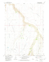
1979 · Dishpan
USGS Topo · 1:24,000

1979 · Clover Butte South
USGS Topo · 1:24,000

1979 · Mosquito Lake Butte
USGS Topo · 1:24,000
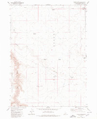
1979 · Poison Butte
USGS Topo · 1:24,000
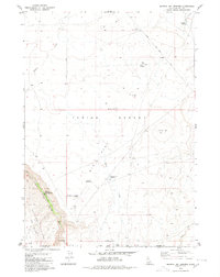
1979 · Murphy Hot Springs
USGS Topo · 1:24,000
1979 · Inside Lakes
USGS Topo · 1:24,000