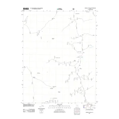
2011 Map of Poison Canyon
USGS Topo · Published 2011About this map
Scorup Cabin and the nearby Steamboat Point Mine anchor the southern reaches of this canyon landscape, reflecting a history of high-desert ranching and mineral exploration. The terrain is defined by deep incisions like Peavine Canyon, Deadman Canyon, and Horse Pasture Canyon, which cut through the high elevations of North Elk Ridge. Movement through this area in the early 21st century relied on a network of Forest Service roads, including Sweet Alice Rd and Forest Rd 088, which connect various pastures and water sources.
Find a feature on this map
28 named features on this map. Tap any name to fly to it.
Don’t see what you’re looking for? This feature index may not catch every label — zoom into the map to look around manually.
Map Details
Editions of this 2011 Poison Canyon Map
This is the sole edition of this map. No revisions or reprints were ever made.
Other maps of this area

1886 · Abajo
USGS Topo · 1:250,000

1892 · Abajo
USGS Topo · 1:250,000

1893 · Abajo
USGS Topo · 1:250,000

1935 · Elk Ridge
USGS Topo · 1:96,000

1940 · Elk Ridge
USGS Topo · 1:125,000

1954 · Elk Ridge 4 NW
USGS Topo · 1:24,000

1954 · Elk Ridge 1 SW
USGS Topo · 1:24,000

1954 · Elk Ridge 2 SE
USGS Topo · 1:24,000

1954 · Elk Ridge 1 NW
USGS Topo · 1:24,000

1954 · Elk Ridge 3 NE
USGS Topo · 1:24,000