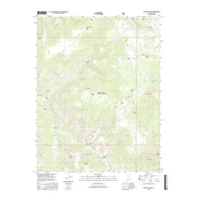
2017 Map of Poison Canyon
USGS Topo · Published 2017About this map
Manti-Lasal National Forest encompasses the high canyon country of San Juan County, where high plateaus like North Elk Ridge drop into a labyrinth of drainages. The landscape is defined by its verticality, with prominent landmarks such as Deadman Point and Steamboat Point towering over complex canyon systems. Local water sources are rare but vital, marked by Big Spring, Sego Spring, and the high-elevation Duck Lake.
Find a feature on this map
53 named features on this map. Tap any name to fly to it.
Don’t see what you’re looking for? This feature index may not catch every label — zoom into the map to look around manually.
Map Details
Editions of this 2017 Poison Canyon Map
This is the sole edition of this map. No revisions or reprints were ever made.
Other maps of this area

1886 · Abajo
USGS Topo · 1:250,000

1892 · Abajo
USGS Topo · 1:250,000

1893 · Abajo
USGS Topo · 1:250,000

1935 · Elk Ridge
USGS Topo · 1:96,000

1940 · Elk Ridge
USGS Topo · 1:125,000

1954 · Elk Ridge 4 NW
USGS Topo · 1:24,000

1954 · Elk Ridge 1 SW
USGS Topo · 1:24,000

1954 · Elk Ridge 2 SE
USGS Topo · 1:24,000

1954 · Elk Ridge 1 NW
USGS Topo · 1:24,000

1954 · Elk Ridge 3 NE
USGS Topo · 1:24,000