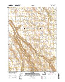
2014 Map of Poison Springs
USGS Topo · Published 2014About this map
Poison Springs and other vital water sources define this high-elevation landscape in Harney County, illustrating the essential infrastructure for livestock management in the high desert. The presence of The Lambing Ground suggests the seasonal rhythms of sheep ranching, where protected areas were designated for the vulnerable stages of herd management. This 2014 survey documents a complex drainage network including Poison Cr, Cucamonga Cr, and Smyth Cr, which channel seasonal runoff through the basins.
Find a feature on this map
22 named features on this map. Tap any name to fly to it.
Don’t see what you’re looking for? This feature index may not catch every label — zoom into the map to look around manually.
Map Details
Editions of this 2014 Poison Springs Map
This is the sole edition of this map. No revisions or reprints were ever made.
Other maps of this area

1955 · Burns
USGS Topo · 1:250,000

1955 · Adel
USGS Topo · 1:250,000

1957 · Adel
USGS Topo · 1:250,000

1958 · Burns
USGS Topo · 1:250,000

1958 · Adel
USGS Topo · 1:250,000

1959 · Burns
USGS Topo · 1:250,000

1962 · Adel
USGS Topo · 1:250,000

1967 · Happy Valley
USGS Topo · 1:24,000

1967 · Diamond
USGS Topo · 1:24,000

1968 · Poison Springs
USGS Topo · 1:24,000