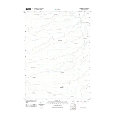
2012 Map of Poker Butte
USGS Topo · Published 2012About this map
Johnson Ranch and Bar C Ranch anchor this landscape along the Middle Fork Powder River, representing the enduring ranching tradition of Johnson County. The terrain is defined by a series of dramatic geographic features, including the rising Castle Rock in the northeast and the broad expanse of The Mesa. Remote cabins such as Spangler Cabin and Dry Vee Cabin are tied to the working landscape by local routes like Bar C Rd and Buffalo Creek Rd.
Find a feature on this map
29 named features on this map. Tap any name to fly to it.
Don’t see what you’re looking for? This feature index may not catch every label — zoom into the map to look around manually.
Map Details
Editions of this 2012 Poker Butte Map
This is the sole edition of this map. No revisions or reprints were ever made.
Other maps of this area

1955 · Arminto
USGS Topo · 1:250,000

1958 · Arminto
USGS Topo · 1:250,000

1961 · Barnum
USGS Topo · 1:62,500

1962 · Arminto
USGS Topo · 1:250,000

1967 · Gordon Creek
USGS Topo · 1:24,000

1967 · Turk Springs
USGS Topo · 1:24,000

1968 · First Water Draw
USGS Topo · 1:24,000

1968 · Willow Creek School
USGS Topo · 1:24,000

1968 · Roughlock Hill
USGS Topo · 1:24,000
1979 · Red Fork Powder River
USGS Topo · 1:24,000