
1967 Map of Turk Springs
USGS Topo · Published 1971About this map
The high-elevation grazing lands and drainage basins of the South Fork Red River dominate this mid-century topographic survey along the Washakie and Johnson county line. The landscape is defined by a series of prominent ridges, including the curiously named Poison Weed Ridge and Telephone Ridge, which separate the various forks of Beaver Creek and Blue Creek. These waterways and their associated meadows, such as Bachaus Pasture in the southeast, reflect the area's history as open range for livestock.
Find a feature on this map
21 named features on this map. Tap any name to fly to it.
Don’t see what you’re looking for? This feature index may not catch every label — zoom into the map to look around manually.
Map Details
Editions of this 1967 Turk Springs Map
This is the sole edition of this map. No revisions or reprints were ever made.
Other maps of this area

1955 · Arminto
USGS Topo · 1:250,000

1958 · Arminto
USGS Topo · 1:250,000

1961 · Barnum
USGS Topo · 1:62,500

1962 · Arminto
USGS Topo · 1:250,000

1963 · Mayoworth
USGS Topo · 1:62,500
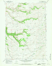
1966 · Tallon Spring
USGS Topo · 1:24,000
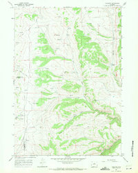
1967 · Tabletop
USGS Topo · 1:24,000

1967 · Horse Butte
USGS Topo · 1:24,000

1967 · Gordon Creek
USGS Topo · 1:24,000
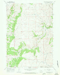
1967 · Cherry Creek Hill
USGS Topo · 1:24,000