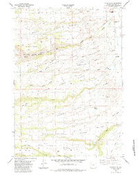
1984 Map of Poker Butte
USGS Topo · Published 1984About this map
The Middle Fork Powder River and South Fork Powder River converge in this Wyoming landscape, where the terrain is defined by dramatic geological features like Steamboat Rock and Castle Rock. Known for its connection to the Old West, the area features Outlaw Cave along the river bluffs. Human presence is marked by ranching and resource management, including the Ed O. Taylor property and the Big Game Winter Range which covers a significant portion of the northern river slopes.
Find a feature on this map
41 named features on this map. Tap any name to fly to it.
Don’t see what you’re looking for? This feature index may not catch every label — zoom into the map to look around manually.
Map Details
Editions of this 1984 Poker Butte Map
This is the sole edition of this map. No revisions or reprints were ever made.
Other maps of this area

1955 · Arminto
USGS Topo · 1:250,000

1958 · Arminto
USGS Topo · 1:250,000

1961 · Barnum
USGS Topo · 1:62,500

1962 · Arminto
USGS Topo · 1:250,000

1967 · Gordon Creek
USGS Topo · 1:24,000

1967 · Turk Springs
USGS Topo · 1:24,000

1968 · First Water Draw
USGS Topo · 1:24,000

1968 · Willow Creek School
USGS Topo · 1:24,000

1968 · Roughlock Hill
USGS Topo · 1:24,000
1979 · Red Fork Powder River
USGS Topo · 1:24,000