
1908 Map of Poland
USGS Topo · Published 1908About this map
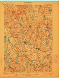
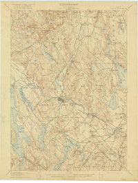
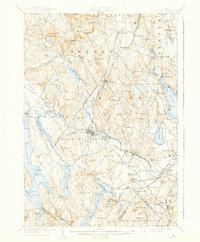
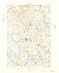
The Little Androscoggin River flows through the center of this Maine landscape, powering the manufacturing heart of Mechanic Falls and Hackett Mills. At the beginning of the twentieth century, this region was a critical nexus for transportation and leisure, defined by the industrial presence of the Grand Trunk Railway and the Maine Central Railroad. The map reveals a dense network of farming communities and seasonal destinations, most notably the famed Poland Spring resort complex, complete with its own Poland Spring Sta and the nearby Ricker Hill.
Find a feature on this map
156 named features on this map. Tap any name to fly to it.
Don’t see what you’re looking for? This feature index may not catch every label — zoom into the map to look around manually.
Map Details
Editions of this 1908 Poland Map
5 editions found
Other maps of this area

1892 · Freeport
USGS Topo · 1:62,500

1894 · Gray
USGS Topo · 1:62,500

1896 · Norway
USGS Topo · 1:62,500

1896 · Sebago
USGS Topo · 1:62,500

1898 · Gray
USGS Topo · 1:62,500

1908 · Lewiston
USGS Topo · 1:62,500

1910 · Livermore
USGS Topo · 1:62,500

1911 · Bryant Pond
USGS Topo · 1:62,500

1911 · Buckfield
USGS Topo · 1:62,500

1912 · Livermore
USGS Topo · 1:62,500