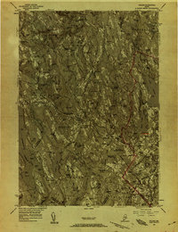
1956 Map of Poland
USGS Topo · Published 1958About this map
Mechanic Falls and the surrounding mill towns of Androscoggin County are captured here in the mid-1950s, a period of industrial transition. The Little Androscoggin River serves as the central artery for this region, winding through the manufacturing center and past Hackett Mills. The landscape is defined by its specialized institutions, such as the Western Maine Sanatorium in Hebron and the renowned resort grounds at Poland Spring. This era shows a complex transportation network where traditional rail lines like the Maine Central Railroad and the Canadian National Railway intersect with the modernizing footprint of the Lewiston-Auburn Municipal Airport. Genealogists will find a wealth of specific local landmarks, from family-named crossings like Skilling Corner and Haskell Corner to small cemeteries such as Fairview Cem and the uniquely named Promised Land Cem.
Find a feature on this map
135 named features on this map. Tap any name to fly to it.
Don’t see what you’re looking for? This feature index may not catch every label — zoom into the map to look around manually.
Map Details
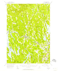
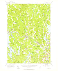
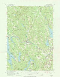
Editions of this 1956 Poland Map
4 editions found
Other maps of this area

1892 · Freeport
USGS Topo · 1:62,500

1894 · Gray
USGS Topo · 1:62,500

1896 · Norway
USGS Topo · 1:62,500

1896 · Sebago
USGS Topo · 1:62,500

1898 · Gray
USGS Topo · 1:62,500

1908 · Poland
USGS Topo · 1:62,500

1908 · Lewiston
USGS Topo · 1:62,500

1910 · Livermore
USGS Topo · 1:62,500

1911 · Bryant Pond
USGS Topo · 1:62,500

1911 · Buckfield
USGS Topo · 1:62,500