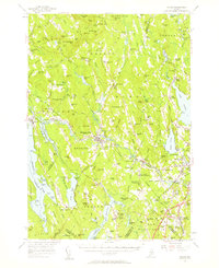
1956 Map of Poland
USGS Topo · Published 1960About this map
The Little Androscoggin River winds through this landscape of the mid-1950s, connecting a series of mill towns and crossroads settlements. Industry and tourism define the region, from the manufacturing center at Mechanic Falls to the world-renowned resort grounds of Poland Spring. Transport networks are in a state of transition here, as the modern Maine Turnpike cuts across the southeast corner near Danville Corner, while the traditional rail infrastructure of the Canadian National Railway still serves stations like Empire Road Sta and Lewiston Junction.
Find a feature on this map
131 named features on this map. Tap any name to fly to it.
Don’t see what you’re looking for? This feature index may not catch every label — zoom into the map to look around manually.
Map Details
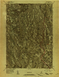
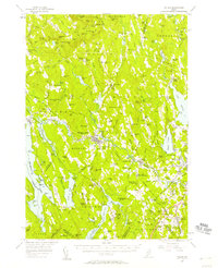
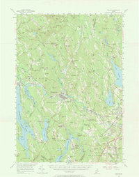
Editions of this 1956 Poland Map
4 editions found
Other maps of this area

1892 · Freeport
USGS Topo · 1:62,500

1894 · Gray
USGS Topo · 1:62,500

1896 · Norway
USGS Topo · 1:62,500

1896 · Sebago
USGS Topo · 1:62,500

1898 · Gray
USGS Topo · 1:62,500

1908 · Poland
USGS Topo · 1:62,500

1908 · Lewiston
USGS Topo · 1:62,500

1910 · Livermore
USGS Topo · 1:62,500

1911 · Bryant Pond
USGS Topo · 1:62,500

1911 · Buckfield
USGS Topo · 1:62,500