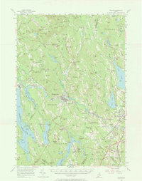
1956 Map of Poland
USGS Topo · Published 1968About this map
Mechanic Falls serves as a central hub in this mid-century portrait of Maine's interior, where the Little Androscoggin River carves through a landscape of prominent peaks and deep valleys. The map documents an era of established rural institutions, notably the Hebron Academy and the Western Maine Sanatorium north of West Minot. Transportation history is clearly etched across the terrain, from the Canadian National tracks serving Oxford Sta to the Maine Central line passing through Danville Junction. The southern portion of the sheet is dominated by the resort and spring-water legacy of Poland Spring, while the eastern edge captures the residential fringes of Auburn near Lake Auburn. Genealogists will find value in the density of named corners and small settlements like Skillings Corner, Caldwell Corner, and Haskell Corner that define the local social geography between the hills.
Find a feature on this map
146 named features on this map. Tap any name to fly to it.
Don’t see what you’re looking for? This feature index may not catch every label — zoom into the map to look around manually.
Map Details
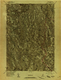
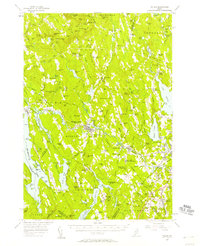
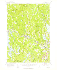
Editions of this 1956 Poland Map
4 editions found
Other maps of this area

1892 · Freeport
USGS Topo · 1:62,500

1894 · Gray
USGS Topo · 1:62,500

1896 · Norway
USGS Topo · 1:62,500

1896 · Sebago
USGS Topo · 1:62,500

1898 · Gray
USGS Topo · 1:62,500

1908 · Poland
USGS Topo · 1:62,500

1908 · Lewiston
USGS Topo · 1:62,500

1910 · Livermore
USGS Topo · 1:62,500

1911 · Bryant Pond
USGS Topo · 1:62,500

1911 · Buckfield
USGS Topo · 1:62,500