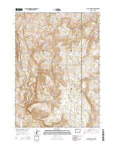
2014 Map of Pole Creek Top
USGS Topo · Published 2014About this map
Pole Creek Top rises as a prominent landmark in this high-desert landscape where Oregon meets Idaho. The 2014 survey documents a rugged ranching and wilderness area in Malheur Co, dominated by the Owyhee Mountains and seasonal water systems like Succor Cr and Trimbly Cr. Grounded in the geography of the Great Basin, the map identifies specific cattle-country features such as the Spanish Charlie Basin and the Hot Rock Reservoir, providing a clear view of the water sources vital to the region. Traces of historical land use appear in names like Strode Basin and along the winding Antelope Springs Rd. This map serves as a contemporary record of an sparsely populated boundary region, preserving the exact placement of remote springs and traditional grazing basins.
Find a feature on this map
20 named features on this map. Tap any name to fly to it.
Don’t see what you’re looking for? This feature index may not catch every label — zoom into the map to look around manually.
Map Details
Editions of this 2014 Pole Creek Top Map
This is the sole edition of this map. No revisions or reprints were ever made.
Other maps of this area

1892 · Silver City
USGS Topo · 1:125,000

1894 · Silver City
USGS Topo · 1:125,000

1898 · Nampa
USGS Topo · 1:125,000

1898 · Silver City
USGS Topo · 1:125,000

1906 · Mitchell Butte
USGS Topo · 1:125,000

1955 · Boise
USGS Topo · 1:250,000

1957 · Sands Basin
USGS Topo · 1:62,500

1958 · Boise
USGS Topo · 1:250,000

1958 · Homedale
USGS Topo · 1:24,000

1962 · Boise
USGS Topo · 1:250,000