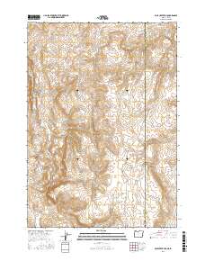
2017 Map of Pole Creek Top
USGS Topo · Published 2017About this map
The Owyhee Mountains dominate the eastern edge of this high-desert landscape on the border of Malheur County, Oregon, and Owyhee County, Idaho. This 2017 survey details a region defined by complex drainage basins and water management for livestock, with numerous catchments like Hot Rock Reservoir, Mitzi Reservoir, and Cunningham Reservoir distributed across the dry terrain. The topography is anchored by the prominent Pole Creek Top and the geological formation of Negro Rock to the southwest.
Find a feature on this map
27 named features on this map. Tap any name to fly to it.
Don’t see what you’re looking for? This feature index may not catch every label — zoom into the map to look around manually.
Map Details
Editions of this 2017 Pole Creek Top Map
This is the sole edition of this map. No revisions or reprints were ever made.
Other maps of this area

1892 · Silver City
USGS Topo · 1:125,000

1894 · Silver City
USGS Topo · 1:125,000

1898 · Nampa
USGS Topo · 1:125,000

1898 · Silver City
USGS Topo · 1:125,000

1906 · Mitchell Butte
USGS Topo · 1:125,000

1955 · Boise
USGS Topo · 1:250,000

1957 · Sands Basin
USGS Topo · 1:62,500

1958 · Boise
USGS Topo · 1:250,000

1958 · Homedale
USGS Topo · 1:24,000

1962 · Boise
USGS Topo · 1:250,000