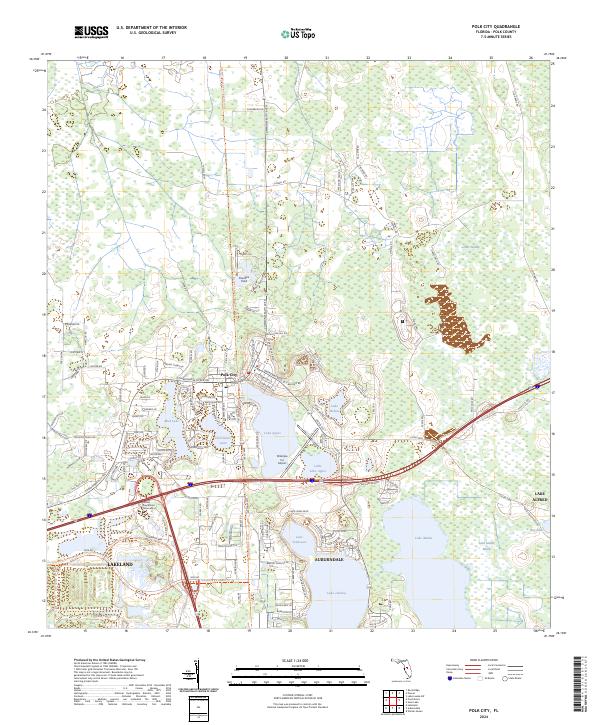
2024 Map of Polk City
USGS Topo · Published 2024About this map
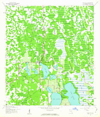
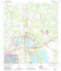
Polk City serves as a central hub in this central Florida landscape, where the northern wetlands of the Green Swamp meet a dense network of freshwater lakes. The contemporary footprint of the region is defined by modern educational and aviation facilities, notably the campus of Florida Polytechnic University and the Orlampa Inc Airport. Water dominates the southern half of the map, with sizable bodies such as Lake Juliana, Lake Tennessee, and Lake Mattie shaping the residential boundaries of Auburndale and northern Lakeland. Transportation corridors like the General James A. Van Fleet State Trl and Polk City Rd trace the historical movement between these citrus-growing and phosphate-mining communities. The geography is characterized by numerous smaller basins like Mud Lake and Clearwater Lake, illustrating the complex hydrology that has historically dictated development patterns throughout Polk County.
Find a feature on this map
136 named features on this map. Tap any name to fly to it.
Don’t see what you’re looking for? This feature index may not catch every label — zoom into the map to look around manually.
Map Details
Editions of this 2024 Polk City Map
This is the sole edition of this map. No revisions or reprints were ever made.