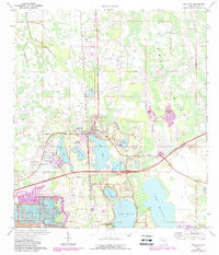
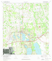
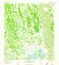
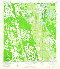
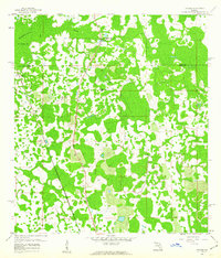
1975 Map of Polk City
USGS Topo · Published 1988About this map
Polk City sits as the central hub of this Central Florida landscape, situated where the northern edge of development meets the vast hydrological expanse of the Green Swamp. The map illustrates a region in transition during the late 1980s, characterized by numerous water bodies such as Lake Agnes, Lake Juliana, and Lake Mattie. The industrial history of the area is visible through the presence of a Reclaimed Strip Mine and multiple sandpits, showing the scars and restoration efforts of the local phosphate and sand industries.
Find a feature on this map
24 named features on this map. Tap any name to fly to it.
Don’t see what you’re looking for? This feature index may not catch every label — zoom into the map to look around manually.
Map Details
Editions of this 1975 Polk City Map
2 editions found
Other maps of this area
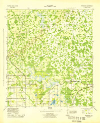
1944 · Providence
USGS Topo · 1:31,680
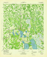
1944 · Polk City
USGS Topo · 1:31,680

1944 · Lakeland
USGS Topo · 1:31,680

1944 · Auburndale
USGS Topo · 1:31,680

1955 · Orlando
USGS Topo · 1:250,000

1957 · Orlando
USGS Topo · 1:250,000

1958 · Orlando
USGS Topo · 1:250,000
1959 · Gum Lake
USGS Topo · 1:24,000
1959 · Lake Louisa SW
USGS Topo · 1:24,000
1959 · Poyner
USGS Topo · 1:24,000