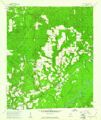
1960 Map of Pollard
USGS Topo · Published 1961About this map
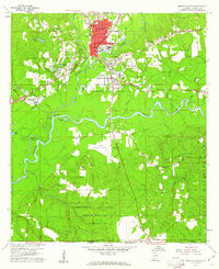
The Conecuh River snakes through the bottomlands of the Alabama-Florida border, defining the southern landscape of this 1960 survey. Near the junction of the Louisville And Nashville railroad lines, the established settlements of Pollard and Flomaton anchor a region defined by its timber and oil potential. Evidence of the local extraction economy is visible in the scattered Oil Well and Oil Wells clusters south of Osaka, while industrial activity is further noted at the Gravel Pit and Sandpit sites. This era captures the transition from traditional river-and-rail commerce to modern infrastructure, marked by the presence of a Pipeline and Telephone Line traversing the terrain.
Find a feature on this map
45 named features on this map. Tap any name to fly to it.
Don’t see what you’re looking for? This feature index may not catch every label — zoom into the map to look around manually.
Map Details
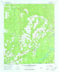
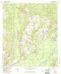
Editions of this 1960 Pollard Map
3 editions found
Other maps of this area

1941 · Century
USGS Topo · 1:62,500

1943 · Century
USGS Topo · 1:62,500

1943 · Jay
USGS Topo · 1:62,500

1953 · Andalusia
USGS Topo · 1:250,000

1957 · Andalusia
USGS Topo · 1:250,000

1957 · Pensacola
USGS Topo · 1:250,000

1959 · Pensacola
USGS Topo · 1:250,000
1959 · Brewton South
USGS Topo · 1:24,000

1960 · Pensacola
USGS Topo · 1:250,000
1960 · Brewton South
USGS Topo · 1:24,000