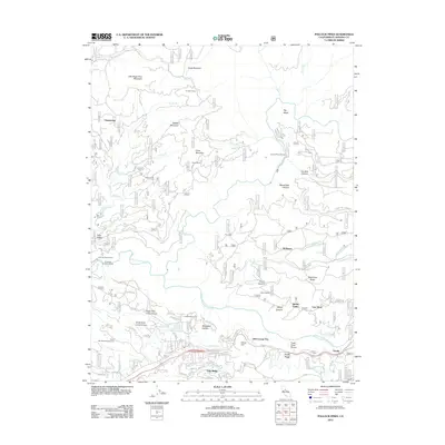
2012 Map of Pollock Pines
USGS Topo · Published 2012About this map
Gold Ridge and the Fresh Pond area anchor the southern portion of this El Dorado County landscape, where the S Fork American River carves through deep canyons and timberlands. The map documents a complex network of historic water management and power infrastructure, including the El Dorado Ditch and the El Dorado Power House, highlighting the region's long-standing reliance on hydraulic engineering.
Find a feature on this map
91 named features on this map. Tap any name to fly to it.
Don’t see what you’re looking for? This feature index may not catch every label — zoom into the map to look around manually.
Map Details
Editions of this 2012 Pollock Pines Map
This is the sole edition of this map. No revisions or reprints were ever made.
Other maps of this area

1889 · Pyramid Peak
USGS Topo · 1:125,000

1891 · Placerville
USGS Topo · 1:125,000

1891 · Pyramid Peak
USGS Topo · 1:125,000

1892 · Placerville
USGS Topo · 1:125,000

1893 · Placerville
USGS Topo · 1:125,000

1895 · Pyramid Peak
USGS Topo · 1:125,000

1896 · Pyramid Peak
USGS Topo · 1:125,000

1947 · Sacramento
USGS Topo · 1:250,000

1948 · Sacramento
USGS Topo · 1:250,000

1950 · Riverton
USGS Topo · 1:24,000