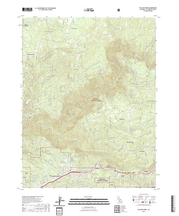
2022 Map of Pollock Pines
USGS Topo · Published 2022About this map
Pollock Pines serves as the focal point of this El Dorado County survey, situated where the ridge-top settlements meet the steep, timbered drainages of the Eldorado National Forest. The map documents a complex landscape of water management and topography, notably featuring the El Dorado Irrigation District Main Canal and the El Dorado Ditch winding through the terrain. These systems, alongside the Brush Cr Reservoir and Long Canyon Forebay, highlight the critical role of water infrastructure in supporting the foothill communities.
Find a feature on this map
98 named features on this map. Tap any name to fly to it.
Don’t see what you’re looking for? This feature index may not catch every label — zoom into the map to look around manually.
Map Details
Editions of this 2022 Pollock Pines Map
This is the sole edition of this map. No revisions or reprints were ever made.
Other maps of this area

1889 · Pyramid Peak
USGS Topo · 1:125,000

1891 · Placerville
USGS Topo · 1:125,000

1891 · Pyramid Peak
USGS Topo · 1:125,000

1892 · Placerville
USGS Topo · 1:125,000

1893 · Placerville
USGS Topo · 1:125,000

1895 · Pyramid Peak
USGS Topo · 1:125,000

1896 · Pyramid Peak
USGS Topo · 1:125,000

1947 · Sacramento
USGS Topo · 1:250,000

1948 · Sacramento
USGS Topo · 1:250,000

1950 · Riverton
USGS Topo · 1:24,000