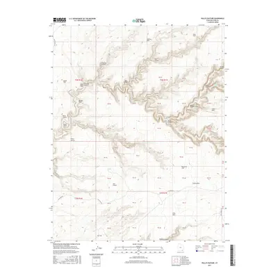
2017 Map of Pollys Pasture
USGS Topo · Published 2017About this map
Big Man Panel stands as a significant cultural landmark within the complex canyon systems of this San Juan County landscape. The topography is dominated by the deep incisions of Grand Gulch and its numerous tributaries, including Bullet Canyon and Sheiks Canyon. This high-desert environment is characterized by large, flat-topped features like Cedar Mesa and Polly Mesa, which are bordered by the dramatic drop-offs of the Red House Cliffs. The availability of water in this arid region is marked by several named reliable sources such as Dripping Spring, Green Mask Spring, and Jailhouse Spring. The network of canyons creates isolated formations like Pollys Island, while cattle-grazing history is reflected in the naming of Pollys Pasture and Cow Trail Canyon. Connectivity across the plateau is maintained by few unpaved routes, notably Slick Horn Rd and Point Lookout Rd.
Find a feature on this map
39 named features on this map. Tap any name to fly to it.
Don’t see what you’re looking for? This feature index may not catch every label — zoom into the map to look around manually.
Map Details
Editions of this 2017 Pollys Pasture Map
This is the sole edition of this map. No revisions or reprints were ever made.
Other maps of this area

1886 · Henry Mountains
USGS Topo · 1:250,000

1886 · Abajo
USGS Topo · 1:250,000

1892 · Abajo
USGS Topo · 1:250,000

1892 · Henry Mountains
USGS Topo · 1:250,000

1893 · Abajo
USGS Topo · 1:250,000

1935 · Elk Ridge
USGS Topo · 1:96,000

1940 · Elk Ridge
USGS Topo · 1:125,000

1952 · Natural Bridges
USGS Topo · 1:62,500

1954 · White Canyon 4 SE
USGS Topo · 1:24,000

1954 · White Canyon 4 SW
USGS Topo · 1:24,000