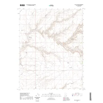
2023 Map of Pollys Pasture
USGS Topo · Published 2023About this map
Big Man Panel stands as a significant cultural landmark within this corner of the Cedar Mesa plateau, where the landscape is defined by a complex network of deep drainage systems. The map details the intricate topography of Grand Gulch and its many tributaries, including Sheiks Canyon and Bullet Canyon. These canyons create a high-relief environment where water sources like Green Mask Spring, Jailhouse Spring, and Step Spring are vital points of interest.
Find a feature on this map
32 named features on this map. Tap any name to fly to it.
Don’t see what you’re looking for? This feature index may not catch every label — zoom into the map to look around manually.
Map Details
Editions of this 2023 Pollys Pasture Map
This is the sole edition of this map. No revisions or reprints were ever made.
Other maps of this area

1886 · Henry Mountains
USGS Topo · 1:250,000

1886 · Abajo
USGS Topo · 1:250,000

1892 · Abajo
USGS Topo · 1:250,000

1892 · Henry Mountains
USGS Topo · 1:250,000

1893 · Abajo
USGS Topo · 1:250,000

1935 · Elk Ridge
USGS Topo · 1:96,000

1940 · Elk Ridge
USGS Topo · 1:125,000

1952 · Natural Bridges
USGS Topo · 1:62,500

1954 · White Canyon 4 SE
USGS Topo · 1:24,000

1954 · White Canyon 4 SW
USGS Topo · 1:24,000