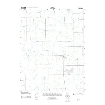
2012 Map of Polo
USGS Topo · Published 2012About this map
Polo serves as the central hub for this Missouri landscape, which is defined by a high density of ancestral burial grounds and family-named terrain. The rural character of the region is punctuated by numerous cemeteries, including Brown Cemetery, Dunkard Cemetery, and Zimmerman Cemetery, many of which are situated near the headwaters of the local drainage system. This network of waterways, including Log Creek, Long Creek, and Cockerel Creek, carves through the undulating topography of the region.
Find a feature on this map
74 named features on this map. Tap any name to fly to it.
Don’t see what you’re looking for? This feature index may not catch every label — zoom into the map to look around manually.
Map Details
Editions of this 2012 Polo Map
This is the sole edition of this map. No revisions or reprints were ever made.
Other maps of this area

1889 · Lexington
USGS Topo · 1:125,000

1894 · Independence
USGS Topo · 1:125,000

1924 · Polo
USGS Topo · 1:62,500

1924 · Braymer
USGS Topo · 1:62,500

1950 · Kansas City
USGS Topo · 1:250,000

1953 · Moberly
USGS Topo · 1:250,000

1954 · Kansas City
USGS Topo · 1:250,000

1954 · Moberly
USGS Topo · 1:250,000

1956 · Kansas City
USGS Topo · 1:250,000

1957 · Moberly
USGS Topo · 1:250,000