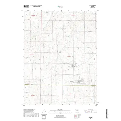
2017 Map of Polo
USGS Topo · Published 2017About this map
Polo serves as the central hub of this agricultural landscape along the border of Caldwell and Ray counties. The town's layout is framed by the surrounding drainages of Long Creek, Log Creek, and Brush Creek, which carve through the terrain near Needmore Hill and Yankee Ridge. For those researching local families, the map provides a comprehensive record of rural burial sites, from the centrally located Wiley Cemetery to the more outlying Dunkard Cemetery, Baker Cemetery, and Mayes Cemetery. This 2017 survey reflects a modern view of the Missouri countryside, where established township boundaries like t55n r28w meet a dense network of county roads and family-named landmarks like Hicks Lake and Simmons Lake.
Find a feature on this map
95 named features on this map. Tap any name to fly to it.
Don’t see what you’re looking for? This feature index may not catch every label — zoom into the map to look around manually.
Map Details
Editions of this 2017 Polo Map
This is the sole edition of this map. No revisions or reprints were ever made.
Other maps of this area

1889 · Lexington
USGS Topo · 1:125,000

1894 · Independence
USGS Topo · 1:125,000

1924 · Polo
USGS Topo · 1:62,500

1924 · Braymer
USGS Topo · 1:62,500

1950 · Kansas City
USGS Topo · 1:250,000

1953 · Moberly
USGS Topo · 1:250,000

1954 · Kansas City
USGS Topo · 1:250,000

1954 · Moberly
USGS Topo · 1:250,000

1956 · Kansas City
USGS Topo · 1:250,000

1957 · Moberly
USGS Topo · 1:250,000