Loading...
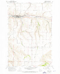
Loading map...1967 Map of Pomeroy
USGS Topo · Published 1971About this map
Pomeroy serves as the focal point of this 1960s survey, situated along the course of Pataha Creek in Garfield County. The town's layout at this time reveals a mix of civic and religious landmarks, including the Holy Rosary Sch, the IOOF Cem, and Ferrell Field. Outside the main settlement, the landscape transitions into the distinctive agricultural plateaus of Pataha Flat and Dutch Flat, which are bisected by numerous gulches and canyons such as Day Gulch and Benjamin Gulch.
Find a feature on this map
42 named features on this map. Tap any name to fly to it.
Don’t see what you’re looking for? This feature index may not catch every label — zoom into the map to look around manually.
Map Details
Date Portrayed1967
Date Published1971
PublisherU.S. Geological Survey
Map TypeTopographic
Scale1:24,000
Physical Dimensions22 x 26.8 inches
Editions of this 1967 Pomeroy Map
This is the sole edition of this map. No revisions or reprints were ever made.
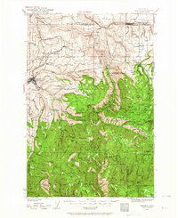
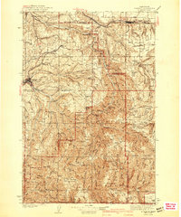
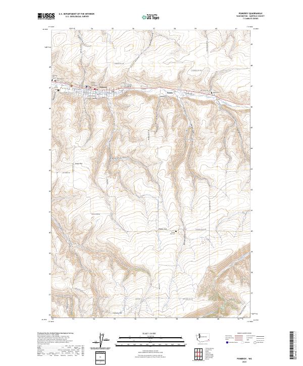
Historical Maps of Pomeroy Through Time
4 maps found
Featured Locations
Source Details
SourceU.S. Geological Survey
CopyrightPublic Domain