Loading...
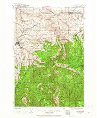
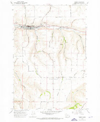
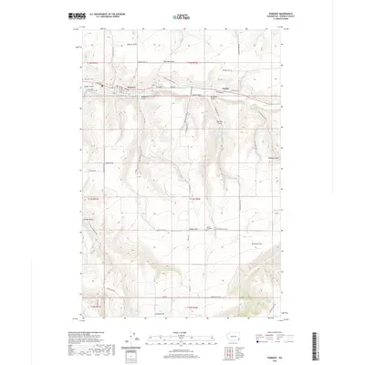
Loading map...1937 Map of Pomeroy
USGS Topo · Published 1964About this map
Pomeroy and Dayton serve as the primary hubs in this 1930s survey of the Blue Mountain foothills, where the agricultural plateaus of Pataha Flat meet the deep drainages of the Tucannon River. The landscape is defined by its transition from the wheat-growing country around Turner and Covello to the timbered reaches of the Umatilla National Forest. This era shows the active presence of the Tucannon CCC Camp, a New Deal-era installation supporting forest management and infrastructure.
Find a feature on this map
80 named features on this map. Tap any name to fly to it.
Don’t see what you’re looking for? This feature index may not catch every label — zoom into the map to look around manually.
Map Details
Date Portrayed1937
Date Published1964
PublisherU.S. Geological Survey
Map TypeTopographic
Scale1:125,000
Physical Dimensions17.1 x 20.9 inches
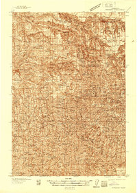
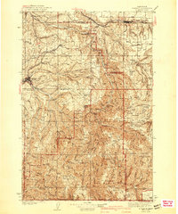
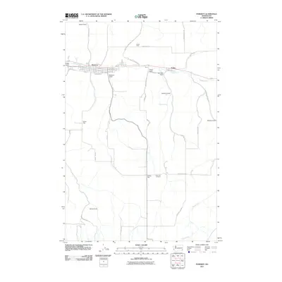
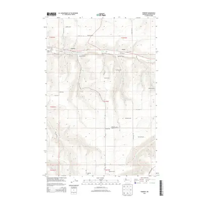
Editions of this 1937 Pomeroy Map
3 editions found
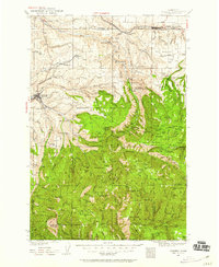
Historical Maps of Dayton Through Time
8 maps found
Featured Locations
Source Details
SourceU.S. Geological Survey
CopyrightPublic Domain