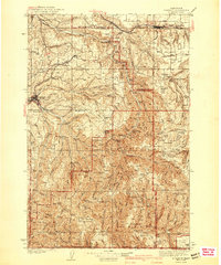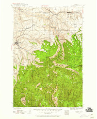
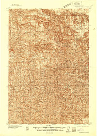
1937 Map of Pomeroy
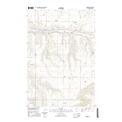
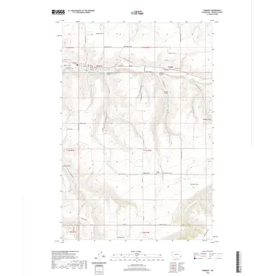
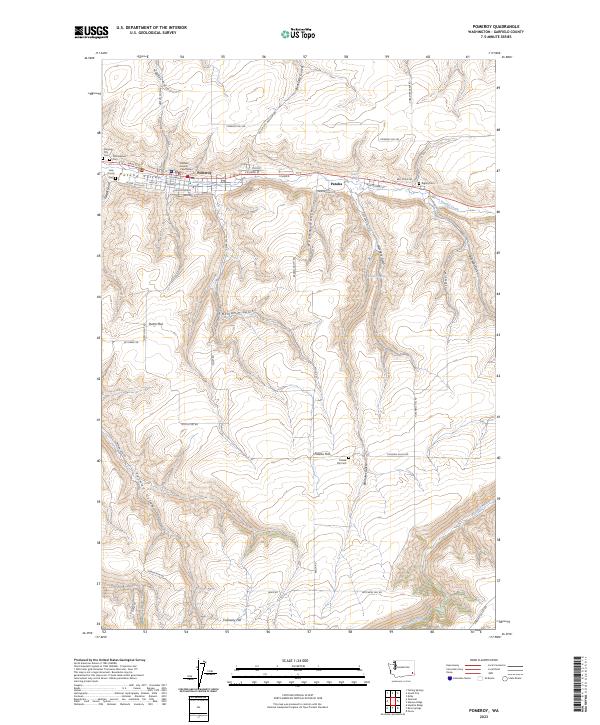
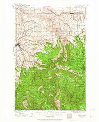
USGS Topo · Published 1959About this map
The town of Pomeroy serves as a primary hub in this late 1930s landscape, positioned near the northern edge of the Umatilla National Forest. The geography is defined by the sharp transition from the agricultural plateaus of Pataha Flat to the deeply incised canyons of the Tucannon River. A network of rural schoolhouses, including Jackson Sch and Pataha Sch, highlights the distributed nature of the homesteading era's community life. Industrial and administrative presence is noted through the Baldwin Mill and the Tucannon CCC Camp, reflecting the Depression-era conservation and timber activity in the region. The Union Pacific railroad corridor connects Dayton to the wider Pacific Northwest, tracing the lowlands beneath the Skyline Drive and high ridges like Scoggins Ridge.
Find a feature on this map
149 named features on this map. Tap any name to fly to it.
Don’t see what you’re looking for? This feature index may not catch every label — zoom into the map to look around manually.
Map Details
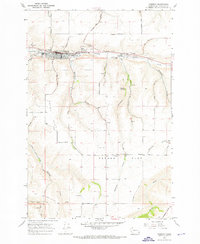
Editions of this 1937 Pomeroy Map
3 editions found
Historical Maps of Dayton Through Time
8 maps found