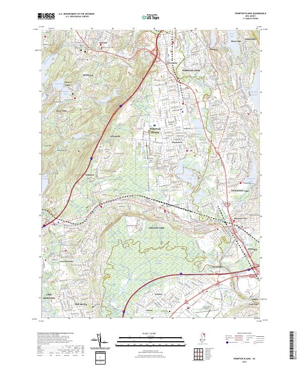
2023 Map of Pompton Plains
USGS Topo · Published 2023About this map
Great Piece Meadows and the surrounding wetlands dominate the low-lying basin where the Pequannock River, Ramapo River, and Wanaque River converge to form the Pompton River. This complex hydrologic network defines the geography between Pompton Plains, Lincoln Park, and Fairfield. The historic route of the Morris Canal remains a visible trace across the landscape, cutting through Towaco and toward the Passaic River, serving as a reminder of the region’s nineteenth-century industrial transport legacy.
Find a feature on this map
76 named features on this map. Tap any name to fly to it.
Don’t see what you’re looking for? This feature index may not catch every label — zoom into the map to look around manually.
Map Details
Editions of this 2023 Pompton Plains Map
This is the sole edition of this map. No revisions or reprints were ever made.
Other maps of this area

1888 · Morristown
USGS Topo · 1:62,500

1888 · Paterson
USGS Topo · 1:62,500

1891 · Greenwood Lake
USGS Topo · 1:62,500

1891 · Ramapo
USGS Topo · 1:62,500

1892 · Paterson
USGS Topo · 1:62,500

1893 · Greenwood Lake
USGS Topo · 1:62,500

1893 · Ramapo
USGS Topo · 1:62,500

1894 · Morristown
USGS Topo · 1:62,500

1898 · Morristown
USGS Topo · 1:62,500

1898 · Paterson
USGS Topo · 1:62,500