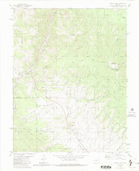
1980 Map of Poncha Pass
USGS Topo · Published 1991About this map
Poncha Pass serves as the central focal point of this 1980 survey, marking a vital transition between the San Isabel National Forest and Rio Grande National Forest. The map documents a landscape defined by its extractive and transit history, featuring an Old Railroad Grade that winds through the mountainous terrain alongside Poncha Creek. Evidence of local industry is scattered throughout the drainages, with numerous prospects, a mine, and several quarries indicated near Mears Junction. Beyond the transit corridors, the geography is punctuated by significant peaks such as Poncha Mountain and Methodist Mountain, while natural water sources like Murphy Hole Springs and Poncha Hot Springs highlight the geothermal and hydrological character of this high-elevation region.
Find a feature on this map
38 named features on this map. Tap any name to fly to it.
Don’t see what you’re looking for? This feature index may not catch every label — zoom into the map to look around manually.
Map Details
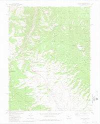
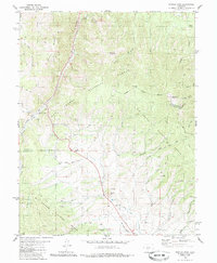
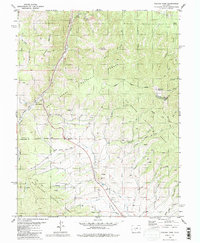
Editions of this 1980 Poncha Pass Map
4 editions found
Other maps of this area

1954 · Pueblo
USGS Topo · 1:250,000

1956 · Cameron Mountain
USGS Topo · 1:62,500

1956 · Poncha Springs
USGS Topo · 1:62,500

1956 · Montrose
USGS Topo · 1:250,000

1957 · Pueblo
USGS Topo · 1:250,000

1958 · Pueblo
USGS Topo · 1:250,000

1959 · Montrose
USGS Topo · 1:250,000

1959 · Bonanza
USGS Topo · 1:62,500

1959 · Howard
USGS Topo · 1:62,500

1960 · Montrose
USGS Topo · 1:250,000