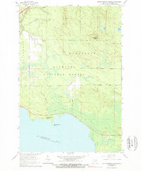
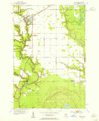
1964 Map of Pontchartrain Shores
USGS Topo · Published 1966About this map
Hiawatha National Forest dominates this northern Michigan landscape, where the boundary between Marquette and St Ignace townships cuts through a mix of wetlands and wooded ridges. Near the northern edge, the Simmons settlement sits at the junction of Simmons Road and Bay Road, flanked by the Simmons Cem and the waters of Rock Spring Creek. The interior terrain is marked by the Daggett Lookout Tower, a reminder of mid-century forest management and fire detection practices in the Upper Peninsula.
Find a feature on this map
24 named features on this map. Tap any name to fly to it.
Don’t see what you’re looking for? This feature index may not catch every label — zoom into the map to look around manually.
Map Details
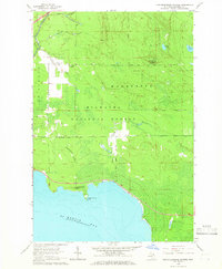
Editions of this 1964 Pontchartrain Shores Map
2 editions found
Other maps of this area

1931 · St Ignace NW
USGS Topo · 1:31,680
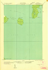
1932 · St Ignace NE
USGS Topo · 1:31,680
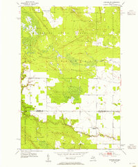
1953 · Pickford NW
USGS Topo · 1:24,000
1953 · Rudyard
USGS Topo · 1:24,000
1953 · Fibre
USGS Topo · 1:24,000

1954 · Sault Sainte Marie
USGS Topo · 1:250,000

1955 · Cheboygan
USGS Topo · 1:250,000

1956 · Sault Sainte Marie
USGS Topo · 1:250,000

1957 · Sault Sainte Marie
USGS Topo · 1:250,000

1958 · Cheboygan
USGS Topo · 1:250,000
Featured Places
- Marquette Township, MI
- Saint Ignace Township, MI
- Simmons, Marquette Township
- Pontchartrain Shores, Marquette Township
- Mackinac County, MI