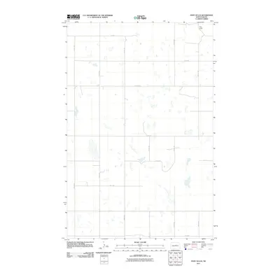
2011 Map of Pony Gulch
USGS Topo · Published 2011About this map
Pony Gulch defines the northern edge of this Wells County landscape, characterized by the intricate prairie pothole topography of the Missouri Coteau. This 2011 survey by the U.S. Geological Survey details a rural North Dakota environment dominated by a vast network of wetlands and small water bodies. The land is organized by a strictly defined grid of section-line roads, including 20th Ave NE and 14 St NE, which facilitate movement between the many unnamed sloughs and seasonal depressions common to this region.
Find a feature on this map
14 named features on this map. Tap any name to fly to it.
Don’t see what you’re looking for? This feature index may not catch every label — zoom into the map to look around manually.
Map Details
Editions of this 2011 Pony Gulch Map
This is the sole edition of this map. No revisions or reprints were ever made.
Other maps of this area

1945 · Manfred
USGS Topo · 1:62,500

1946 · Sheyenne Lake
USGS Topo · 1:48,000

1947 · Sheyenne Lake
USGS Topo · 1:62,500

1948 · Manfred
USGS Topo · 1:62,500

1949 · Manfred SW
USGS Topo · 1:24,000

1950 · Manfred NW
USGS Topo · 1:24,000

1950 · Sheyenne Lake NE
USGS Topo · 1:24,000

1950 · Sheyenne Lake
USGS Topo · 1:24,000

1950 · Manfred SW
USGS Topo · 1:24,000

1952 · New Rockford
USGS Topo · 1:250,000