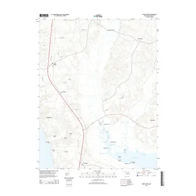
2014 Map of Popes Creek
USGS Topo · Published 2014About this map
The Wicomico River defines the southern reach of this Charles County landscape, where tidal guts and marshy inlets like Tears Gut and Foggy Bottoms Gut carve into the peninsula. This area of Southern Maryland is characterized by a mix of small historic crossroads and family-named landmarks. The settlement at Bel Alton serves as a primary hub in the north, while smaller locales like Faulkner and Newburg line the inland transit corridors. Along the water, distinct landforms such as Cobb Neck, Westwood Point, and Cooksey Island reveal the complex shoreline that has long shaped the local economy and geography. Further inland, the map captures the community centers of Dentsville and the sacred ground of Saint Mary Cem, providing a detailed look at the rural infrastructure and land use of the early 21st century.
Find a feature on this map
43 named features on this map. Tap any name to fly to it.
Don’t see what you’re looking for? This feature index may not catch every label — zoom into the map to look around manually.
Map Details
Editions of this 2014 Popes Creek Map
This is the sole edition of this map. No revisions or reprints were ever made.
Other maps of this area

1889 · Fredericksburg
USGS Topo · 1:125,000

1890 · Mt. Vernon
USGS Topo · 1:125,000

1891 · Mt. Vernon
USGS Topo · 1:125,000

1892 · Fredericksburg
USGS Topo · 1:125,000

1892 · Brandywine
USGS Topo · 1:62,500

1894 · Wicomico
USGS Topo · 1:62,500

1894 · Fredericksburg
USGS Topo · 1:125,000

1894 · Mt. Vernon
USGS Topo · 1:125,000

1895 · Wicomico
USGS Topo · 1:62,500

1895 · Brandywine
USGS Topo · 1:62,500