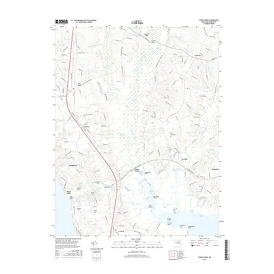
2016 Map of Popes Creek
USGS Topo · Published 2016About this map
Zekiah Swamp dominates the central corridor of this southern Maryland landscape, where the wetland reaches of Zekiah Swamp Run and Old Mill Br converge toward the Wicomico River. The map illustrates the historic transition from the inland settlements of Bel Alton and Dentsville down to the tidewater at Popes Creek. The road network is anchored by Us HWY 301, which cuts a path past Faulkner and Newburg toward the Potomac.
Find a feature on this map
182 named features on this map. Tap any name to fly to it.
Don’t see what you’re looking for? This feature index may not catch every label — zoom into the map to look around manually.
Map Details
Editions of this 2016 Popes Creek Map
This is the sole edition of this map. No revisions or reprints were ever made.
Other maps of this area

1889 · Fredericksburg
USGS Topo · 1:125,000

1890 · Mt. Vernon
USGS Topo · 1:125,000

1891 · Mt. Vernon
USGS Topo · 1:125,000

1892 · Fredericksburg
USGS Topo · 1:125,000

1892 · Brandywine
USGS Topo · 1:62,500

1894 · Wicomico
USGS Topo · 1:62,500

1894 · Fredericksburg
USGS Topo · 1:125,000

1894 · Mt. Vernon
USGS Topo · 1:125,000

1895 · Wicomico
USGS Topo · 1:62,500

1895 · Brandywine
USGS Topo · 1:62,500