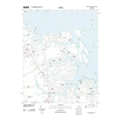
2010 Map of Poquoson West
USGS Topo · Published 2010About this map
Chisman Creek and the Poquoson River carve a deeply indented shoreline into the Virginia Peninsula on this 2010 survey, illustrating a landscape defined by its connection to the Chesapeake Bay. The map documents a blend of industrial and residential growth, featuring the large Yorktown Refinery in the north and the sprawling communities of Poquoson and Tabb in the south. Several family-named cemeteries, including Emmaus Cemetery and Smith Cemetery, provide vital geographic markers for local genealogists.
Find a feature on this map
110 named features on this map. Tap any name to fly to it.
Don’t see what you’re looking for? This feature index may not catch every label — zoom into the map to look around manually.
Map Details
Editions of this 2010 Poquoson West Map
This is the sole edition of this map. No revisions or reprints were ever made.
Other maps of this area

1906 · Williamsburg
USGS Topo · 1:62,500

1907 · Yorktown
USGS Topo · 1:62,500

1907 · Hampton
USGS Topo · 1:62,500

1916 · Mathews
USGS Topo · 1:62,500

1917 · Mathews
USGS Topo · 1:62,500

1943 · Yorktown
USGS Topo · 1:62,500

1943 · Richmond
USGS Topo · 1:250,000

1944 · Hampton
USGS Topo · 1:24,000

1944 · Yorktown
USGS Topo · 1:24,000

1944 · Messick
USGS Topo · 1:24,000